How does Wherobots Cloud simplify geospatial analytics?
How does Wherobots Cloud simplify geospatial analytics?
Wherobots Cloud offers: No installation, scalable processing, enhanced collaboration, pre-built geospatial tools, cost-effectiveness, and easy S3 data integration.
What will you learn?
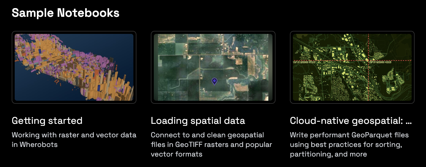
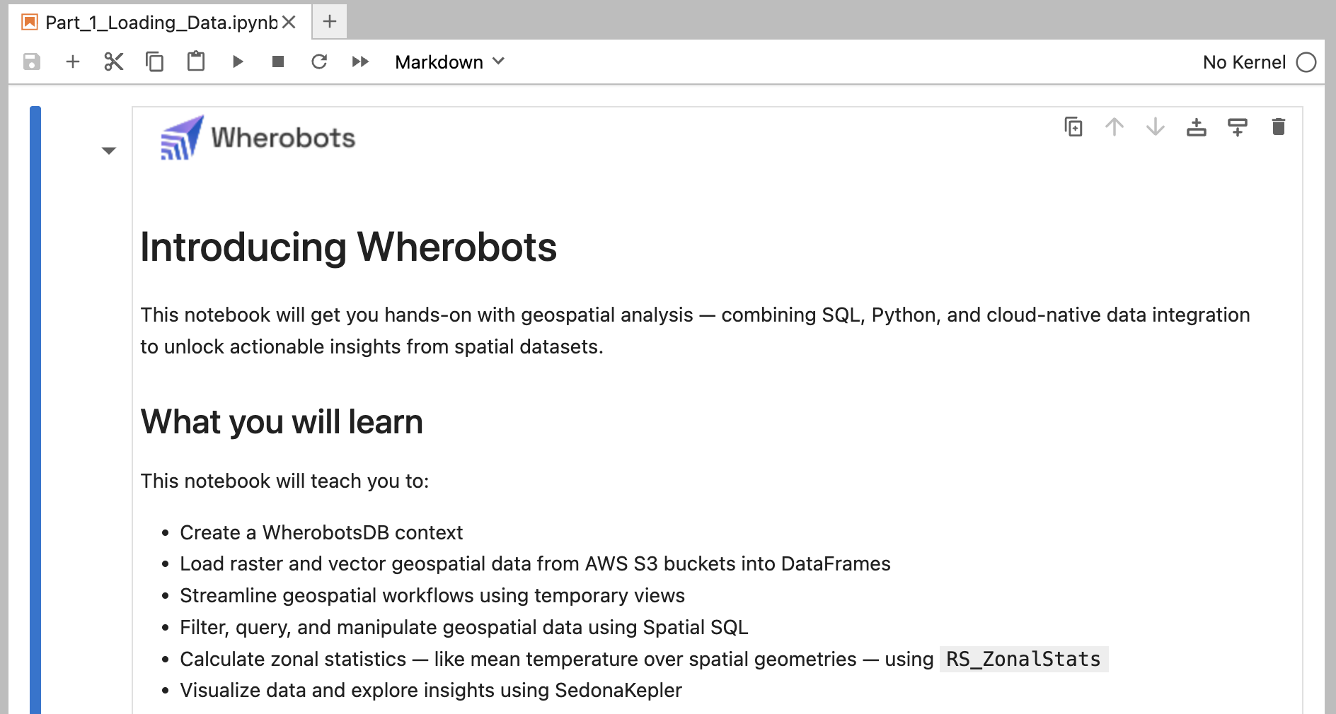
This notebook offers a hands-on guide to geospatial analysis using Apache Sedona within Wherobots. You’ll learn how to:- Load vector (NYC buildings) and raster (Central Park elevation) data from S3.
- Perform SQL-based analyses, like calculating building elevations using zonal statistics.
- Visualize your findings with SedonaKepler.
Before you start
You will need a Wherobots Community Edition Organization to follow this tutorial. Community Edition Organizations are free. For more information on setting up your Community Organization, see Create a Community Edition Organization.Run the Introducing Wherobots Notebook
Let’s open the Introducing Wherobots Notebook – your initial hands-on guide to Wherobots.Start the runtime
Log in to Wherobots Cloud.


