

New
Wherobots Agentic Tools
Turn your favorite code editor, terminal, or AI assistant into an agentic geospatial workspace.
Wherobots’ agentic suite — an MCP Server, Agent Skills, and the Wherobots CLI — works across VS Code, Cursor, Windsurf, Claude Code, Codex, ChatGPT, and more.
Pick Your Tool
Setup guides for VS Code, Cursor, Claude Code, ChatGPT, and more.
MCP Server
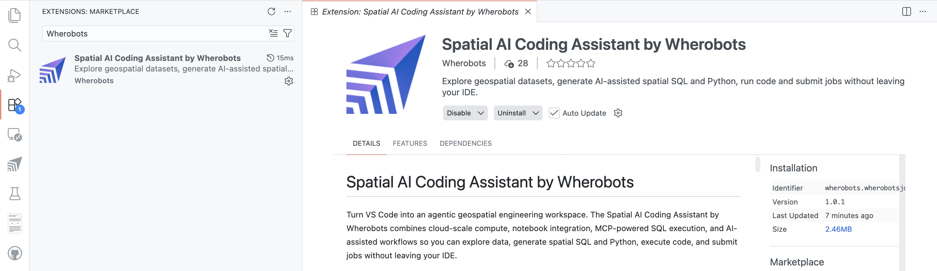
Connect any AI assistant to Wherobots for catalog exploration and Spatial SQL.
Agent Skills
Give your AI assistant domain-specific Wherobots knowledge.
Wherobots CLI
Submit jobs, stream logs, and automate workflows from the terminal.
Quickstart
Get up and running with Wherobots in minutes.
What is Wherobots?
Understand the platform architecture and how WherobotsDB, WherobotsAI, RasterFlow, and Havasu work together.
Create an Account
Register for a free Community Edition organization to start exploring spatial data.
Run Your First Notebook
Load vector and raster data, run spatial queries, and visualize your results.
Platform Capabilities
Wherobots provides a unified platform for spatial ETL, analytics, and AI.
Spatial Analytics
WherobotsDB
Cloud-native, serverless spatial analytics engine. Process vector and raster data with Spatial SQL, Python, and Scala — up to 20x faster than alternatives.
Havasu Table Format
Spatial table format built on Apache Iceberg. ACID transactions, time travel, and optimized storage for geometry and raster data.
AI & Machine Learning
WherobotsAI
Run computer vision on satellite imagery, detect spatial clusters and hotspots, and match GPS traces to road networks — all at planetary scale.
RasterFlow
End-to-end inference engine for large-scale raster processing. Build mosaics, run ML models, and vectorize results with a simple API.
Data & Storage
Spatial Data Catalog
Browse and discover curated geospatial datasets including Overture Maps, ESA WorldCover, and more.
Cloud Storage
Managed storage, S3 integration, and bring-your-own-storage options for your geospatial data.
Developer Tools
Build, automate, and integrate Wherobots into your workflows.
MCP Server
Explore spatial data and generate SQL through natural language in Copilot.
Spatial SQL API
Submit SQL queries programmatically via the Wherobots SQL API.
Airflow Provider
Orchestrate spatial ETL pipelines with the Wherobots Airflow provider.
Learn
Explore tutorials and reference documentation.
Tutorials
Hands-on notebooks for spatial analytics, raster inference, data connections, and more.
API Reference
Complete reference for 300+ spatial functions, WherobotsAI algorithms, Havasu tables, and RasterFlow.
Intro to Spatial Data
New to geospatial? Learn about vector vs. raster data types and common formats.
Apache Sedona vs. Wherobots
Compare open-source Apache Sedona with the managed Wherobots platform.
Manage Your Organization
Administer your team, billing, and security settings.
Invite Members
Add team members and manage roles.
Billing & Usage
Monitor costs and manage billing.
SSO & Security
Configure SAML SSO and security policies.