

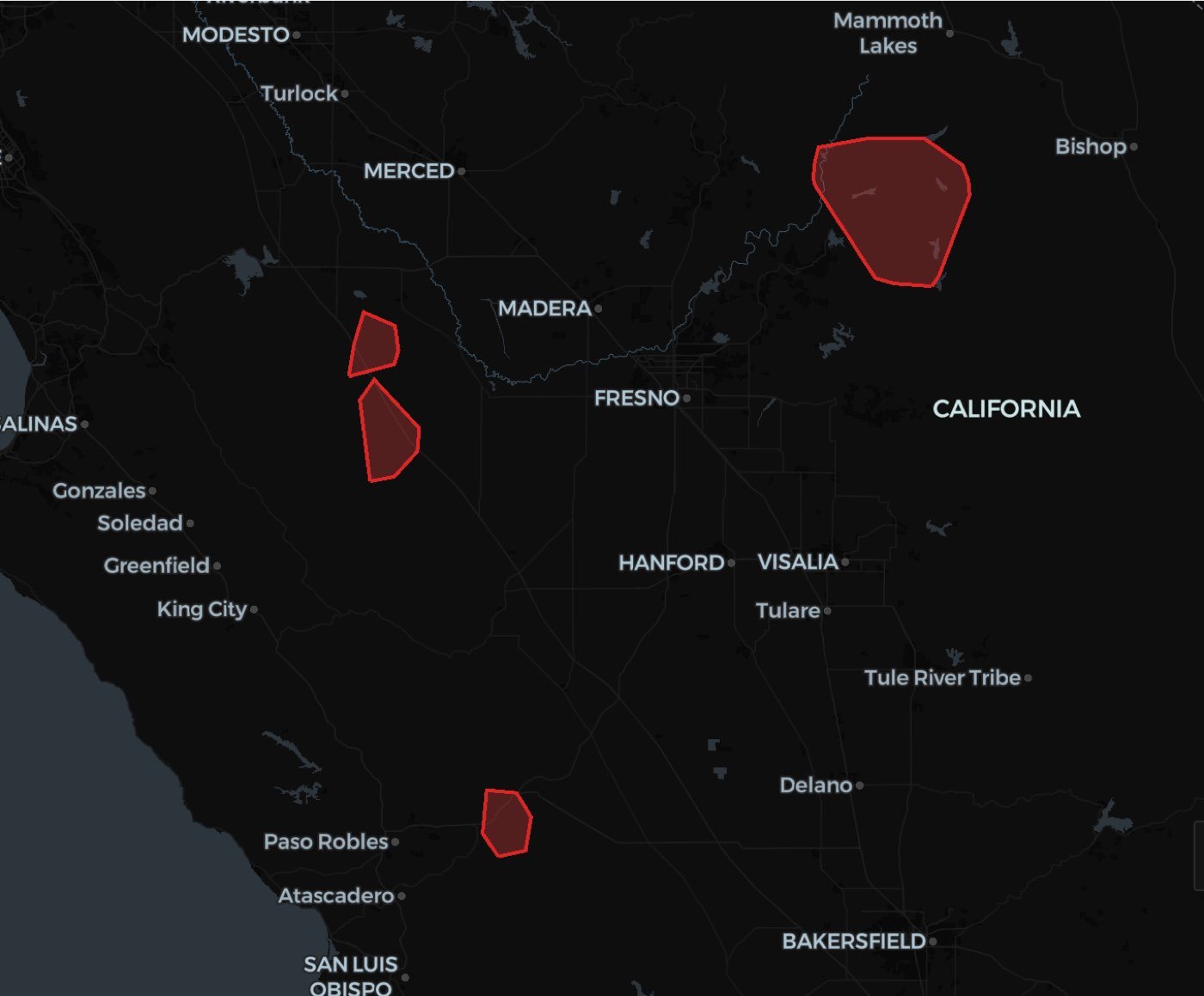
30 minute isochrones for all the fire stations in California in the bounding box between Bakersfield and Merced. Then we will left join the places overture table to those isochrones to label the high risk places that are >30 minutes from a fire station. Finally we will generate clusters with DBSCAN to determine if there are regions where a firestation might be useful
Define Sedona Context
Initialize Data
- For this analysis we’re accessing the Overture Places dataset that is freely available in the Wherobots Spatial Catalog.
- We apply a Spatial filter to pull the Overture places within a region of California. These are the locations for which we want to determine fire station proximity
Generate the isochrones
Here we generate an isochrone for30 minutes for every fire station in our dataframe.
There are 4 arguments for the ST_Isochrone() funcion:
geometry: The starting point from which we will generate the isochrone.time: travel time in minutes; In our case30.mobility_type: Transportation; In our case,car.inbound: Indicates if the geometry is a destination (true) or origin (false); in our case the points represent theorigin.
Map the Results with Wherobots-GL
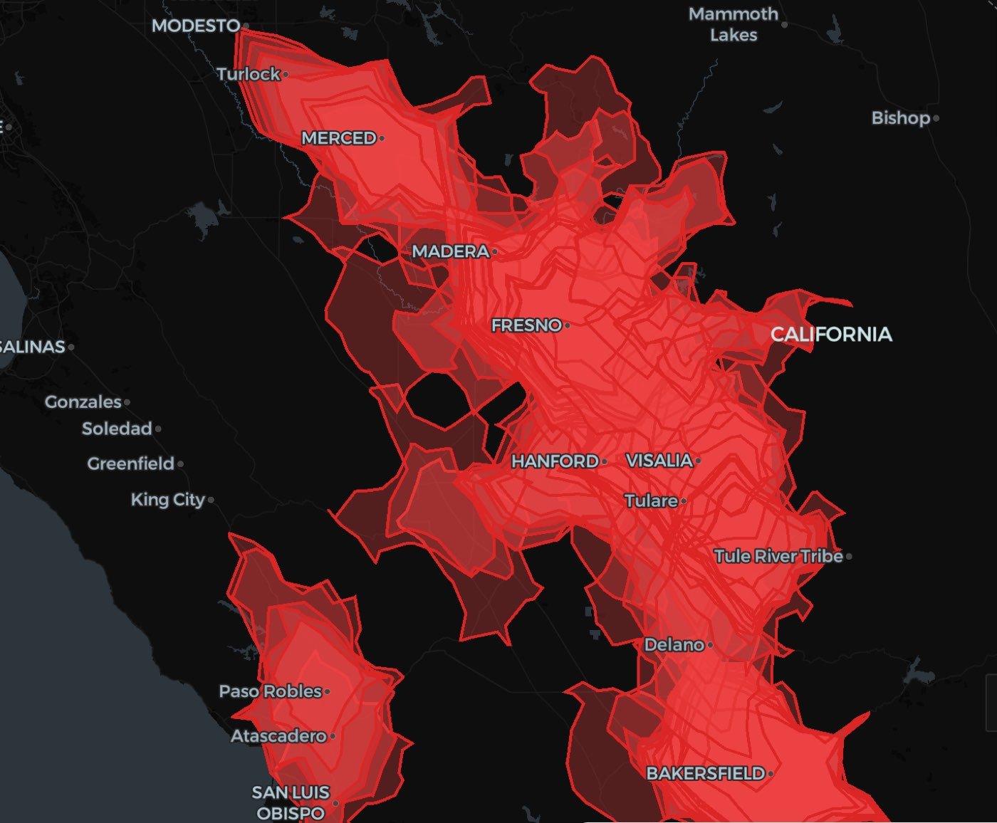
Which Overture Places are outside the reach of any Fire Station?
This query identifies places from the Overture Maps Places dataset that do not fall within any fire station’s isochrone. We perform a left spatial join between the Places and the isochrones, then filter for records where no intersection is found. The result highlights all locations that lie outside the maximum coverage area (e.g., a 30-minute drive time) of any fire station — indicating areas that may be underserved or at higher response risk.Find Clusters of OMF Place not near Fire Stations
Finally, we use WherobotsDB’s DBSCAN to find clusters of places that are not close to a fire station.Map the Results with Wherobots-GL
ST_Isochrones Function Documentation
For detailed information on theST_Isochrones function, refer to the official Wherobots documentation: ST_Isochrones